

What Every Buyer Should Know About Texas Coastal Land: Flooding, Erosion & Zoning
Flooding, erosion, and permitting considerations every buyer should understand before purchasing land along the Texas Gulf Coast.
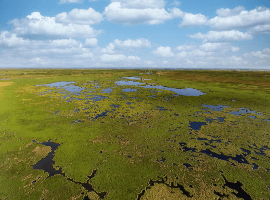
Texas coastal land offers something rare; the combination of working agricultural land, world-class waterfowl hunting, and direct access to one of the most productive natural ecosystems in the country. The counties along the Gulf Prairie and Marshes region, from Matagorda down through Aransas and San Patricio, draw buyers who understand what that combination is worth.
Buying coastal land well means going in with a clear picture of what the land can do and what it asks of you. The flooding, erosion, and permitting considerations that come with Gulf proximity are manageable; they just need to be understood before you sign.
Flooding and floodplain designation
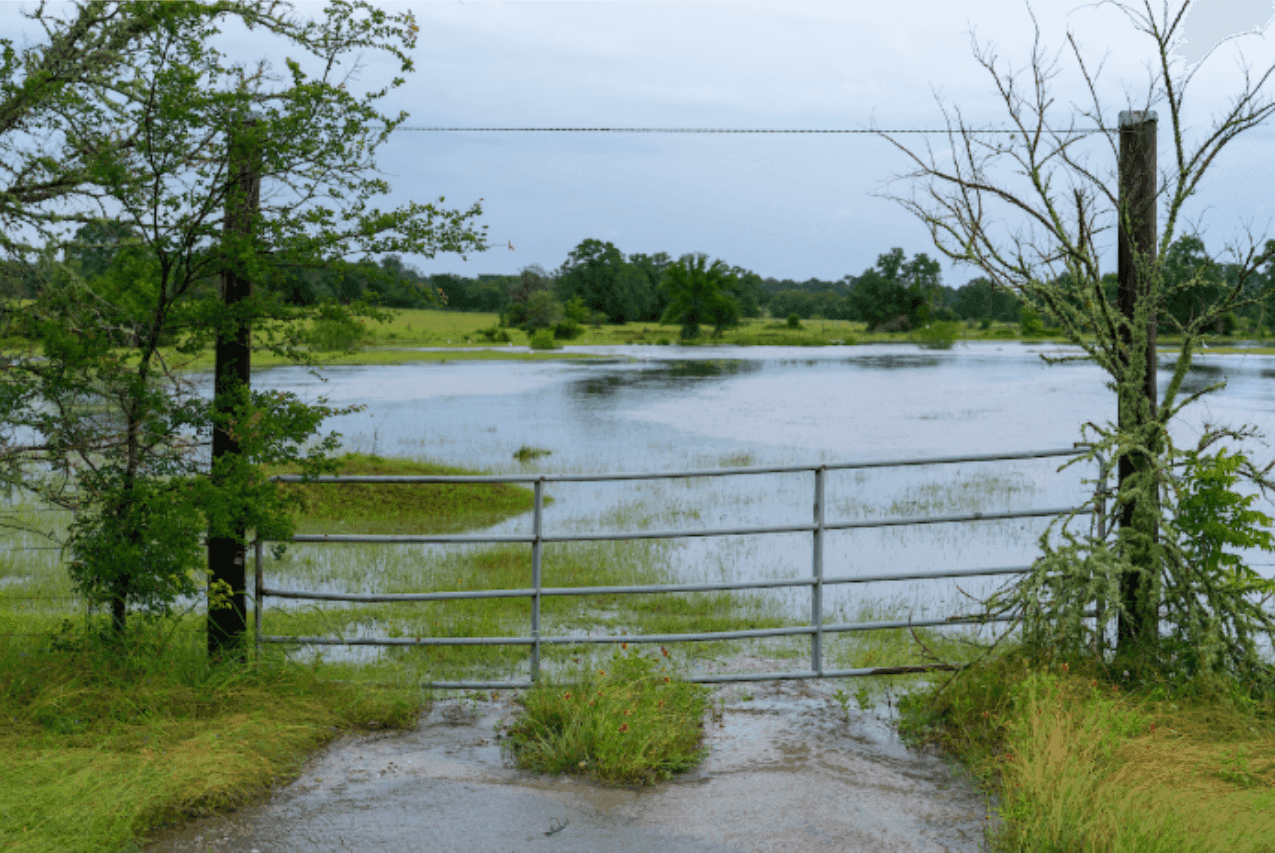
Photo Credit: Michael Miller/Texas A&M AgriLife
Flood risk is the first thing to evaluate on any coastal Texas property. The Federal Emergency Management Agency (FEMA) maintains flood zone maps that designate land by risk level — and those designations have direct implications for what you'll pay for flood insurance and what you can build.
Before making an offer, it's worth knowing:
Whether any portion of the property falls within a Special Flood Hazard Area (SFHA), designated as Zone A or Zone AE on FEMA maps
What the base flood elevation is for the property and how existing structures relate to it
Whether the property has a history of flood claims — this is public record and worth requesting
How the land has performed during major storm events historically
Flood zone designations can also change. FEMA updates its maps periodically, and properties in transitional areas may face reclassification. A local insurance broker who works coastal Texas properties can give you a realistic picture of current and projected insurance costs before you commit.
One thing worth noting: Zone X (the lower-risk designation) isn't a guarantee. Nearly a third of all NFIP flood claims over the past decade came from properties outside high-risk zones. Flood insurance is worth evaluating regardless of how your land is designated.
Coastal erosion
Texas coastline is dynamic. Some stretches are accreting — building outward over time. Others are eroding, sometimes at rates that matter to a landowner over a 10 or 20 year horizon. The difference between the two can affect property boundaries, usable acreage, and long-term value.
The Texas General Land Office (GLO) manages the state's coastal public lands and maintains data on erosion rates by area. For properties near the shoreline or along tidal waterways, understanding where your land sits relative to those trends is straightforward due diligence.
Key considerations include:
Historical erosion or accretion rates for your specific stretch of coastline
Whether any portion of the property is subject to the Open Beaches Act, which guarantees public access to the wet beach
The location of the vegetation line and mean high tide line, which define the boundary between private and public coastal land in Texas
Saltwater intrusion risk for pastureland and freshwater sources on the property
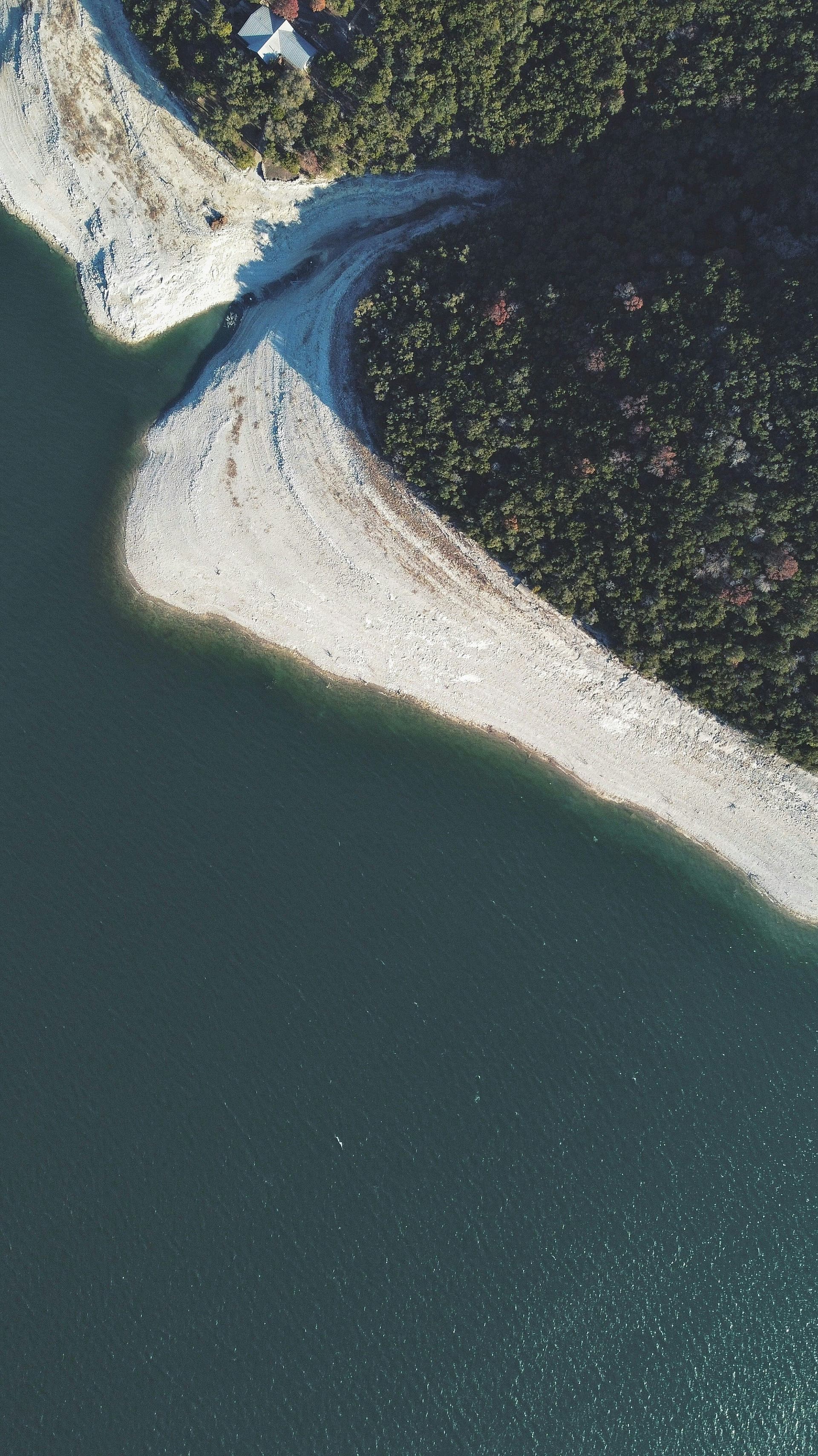
Photo credit: Judah Estrada
Zoning, permits, and the GLO
Building near the Texas coast involves a layer of regulatory oversight that inland buyers don't encounter. The Texas Coastal Management Program coordinates permitting across state and federal agencies, and the GLO has jurisdiction over land seaward of the vegetation line.
If you're planning to build structures, install docks or piers, or alter drainage on a coastal property, the permit requirements are worth mapping out early. They vary by county and by proximity to sensitive habitats — wetlands, seagrass beds, and migratory bird corridors are all factors that can affect what's permissible.
A few questions worth answering before you buy:
Are there existing structures on the property, and do they have current permits?
Is any portion of the land subject to a conservation easement or deed restriction?
What county and municipal zoning applies, and does it align with your intended use?
Are there any pending GLO or Army Corps of Engineers actions affecting the property?
What coastal land makes possible
Coastal Texas land is productive in ways that aren't always obvious to first-time buyers in the region. Duck and goose hunting leases on well-managed marsh properties generate meaningful income through the season. Cattle operations on Gulf Prairie pastureland have supported ranching families for generations. Aquaculture — shrimp, oysters, and finfish — is an emerging use that some landowners are exploring as a way to diversify income from water-adjacent tracts.
The buyers who get the most from coastal land tend to go in with a clear picture of what they want the property to do, and the right guidance on what the land can realistically support.

Good ranchers know we don't do this alone. This is a place to discuss everything from legacy planning, herd management, and land stewardship to innovative revenue models shaping the next generation of ranching in Texas.
Continue the Conversation on the Forum
Join the discussion with Texas landowners, ranchers, and experts.
New to TXR? Create a free account to join the conversation.
Explore beyond the story
Browse listings, find businesses, or save this article for later.
 Listings
 Directory
Get the Newsletter
One reported story on Texas land, delivered free every month.
By signing up, you agree to receive emails from Texas Ranches. We never sell your address, and you can unsubscribe anytime.